
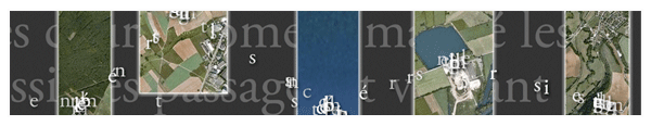
La facilité d´accès à une multitude des données cartographiables et la mise à disposition de fonds de carte aisément manipulables fournissent un riche terreau pour les initiatives artistiques interrogeant notre rapport à l'espace. Au sein de ce contexte, TO:PO:IESIS cherche à mobiliser la double compétence de la carte, à la fois gestion graphique de contenu et création de sens. La carte participe de la création d´un discours poétique, où les mots passent dans le régime non-discursif de la représentation territoriale et où les choses sont intégrées dans un dispositif textuel.
The availability of mappable data and of base maps provide a rich breeding ground for artistic digital initiatives. Within this context, TO:PO:IESIS is an attempt to work on the double properties of the map, both graphical content management and creation of meaning. The map takes part into creating a poetic discourse, where words come into the non-discursive system of territorial representation, and in turn, where things are integrated into a textual apparatus.
 Required Adobe Flash Player 10